
Jacksonville Neighbors by Block
Looking up Jacksonville neighbors works best as a small-radius records task. Start with one verified parcel, identify the lots that abut it, and then read each source for the fact it actually keeps. The parcel map establishes adjacency. The tax roll names legal owners. A permit record identifies a role in a project. The voter file covers registered voters whose information is not protected. A civic directory names organizations and public contacts, not each home on the block.
| Official or local source | Block-level evidence | How to reach it |
|---|---|---|
| JaxGIS / Duval Property Map | Parcel shapes, adjacency, addresses, RE or owner labels, layers, and export | Free interactive map |
| Duval Property Appraiser | Current legal owner, mailing and situs addresses, homestead display, legal description, and sales | Free parcel cards; office and data-request fallbacks |
| JAXEPICS | Permits, inspections, citations, violations, dates, and named project roles | Free public search; city records request for case documents |
| Florida voter extract | Nonprotected registered voters at filed addresses, status, precinct, and districts | Formal state extract request, delivered by disk or pickup |
| Neighborhood organization directory | Association name, type, planning district, and public contact | Free city directory; self-registered entries |
| Historical street directories | Past indexed occupants arranged by house number | Jacksonville Public Library collections and onsite tools |
A parcel owner is not the same as an occupant. Matching the owner's mailing address to the situs, which means the physical parcel address, plus a homestead display can support owner occupancy. It still does not list a whole household. A different mailing address only shows where tax mail goes. It does not prove that a renter lives at the parcel or identify one.
Click Jacksonville's Adjacent Parcels
The Duval Property Map turns one address into a visual list of nearby lots. Search by address or RE number, zoom until the block is clear, and click each polygon that touches the subject parcel. Open Details for the selected lot and carry its RE number into the Duval County Property Appraiser search. That parcel card is the primary source for roll facts.
JaxGIS can label parcels by owner or RE number and export Details to Excel. Results are capped at 1,000, so a block or short segment is more reliable than a broad sweep. GIS is for discovering shape, adjacency, districts, and likely parcels. It is not proof of occupancy, and estimated map dimensions can differ from a recorded legal description.
Note: Confirm every map label in the parcel card, and use a deed when title history matters.
Draw a Jacksonville Neighbor Buffer
A buffer answers a different question from simple adjacency. It can collect parcels within a chosen distance of a point or parcel, even when they do not share a boundary. In JaxGIS, choose the point or parcel, enter the distance and units, show the buffer, select the parcel layer, and run the query. Point, line, polygon, and freehand-polygon tools can shape a small study area.
- Normalize the starting address in the Property Appraiser and save its RE number.
- Open the parcel in JaxGIS, then choose a tight distance suited to the block.
- Show the buffer, select the parcel layer, and execute the query.
- Export the small result set, then open each parcel card to verify owner and situs fields.
Measurement, legend, aerial, district, and other layers can explain the block's shape. They do not add resident names. A narrow buffer also avoids the map's 1,000-result ceiling and reduces the risk of sweeping unrelated Jacksonville neighbors into the result.
Jacksonville Owners Are Not Households
The most common neighbor-search myth is that a property owner list is a household roster. It is not. The Property Appraiser publishes the legal owner and tax-mailing address for a parcel. Deeds name parties to a recorded transfer. Those facts can support ownership, yet neither says who sleeps at the address today. Renters and household members are normally absent.
Homestead and matching mail-and-situs fields add context, but they remain evidence rather than certainty. A trust, company, estate, or remote owner may appear instead of a person at the property. Recent construction can lag in public systems. Vacant land may have no primary site address. Date each result and keep the owner's role distinct from the occupants around the block.
Record-reading tip. Treat owner, applicant, contractor, voter, and civic contact as separate roles unless another official record connects them.
Jacksonville Block Permit Clues
JAXEPICS publishes searches for permits, properties, citations, violations, inspections, and related records. Use the standardized situs address or RE number from the parcel card. A result may show the permit number, status, work description, applicant or contractor, inspections, and dates. The attached capture shows the public property-record system used for this step.
Open the JAXEPICS public property records portal.
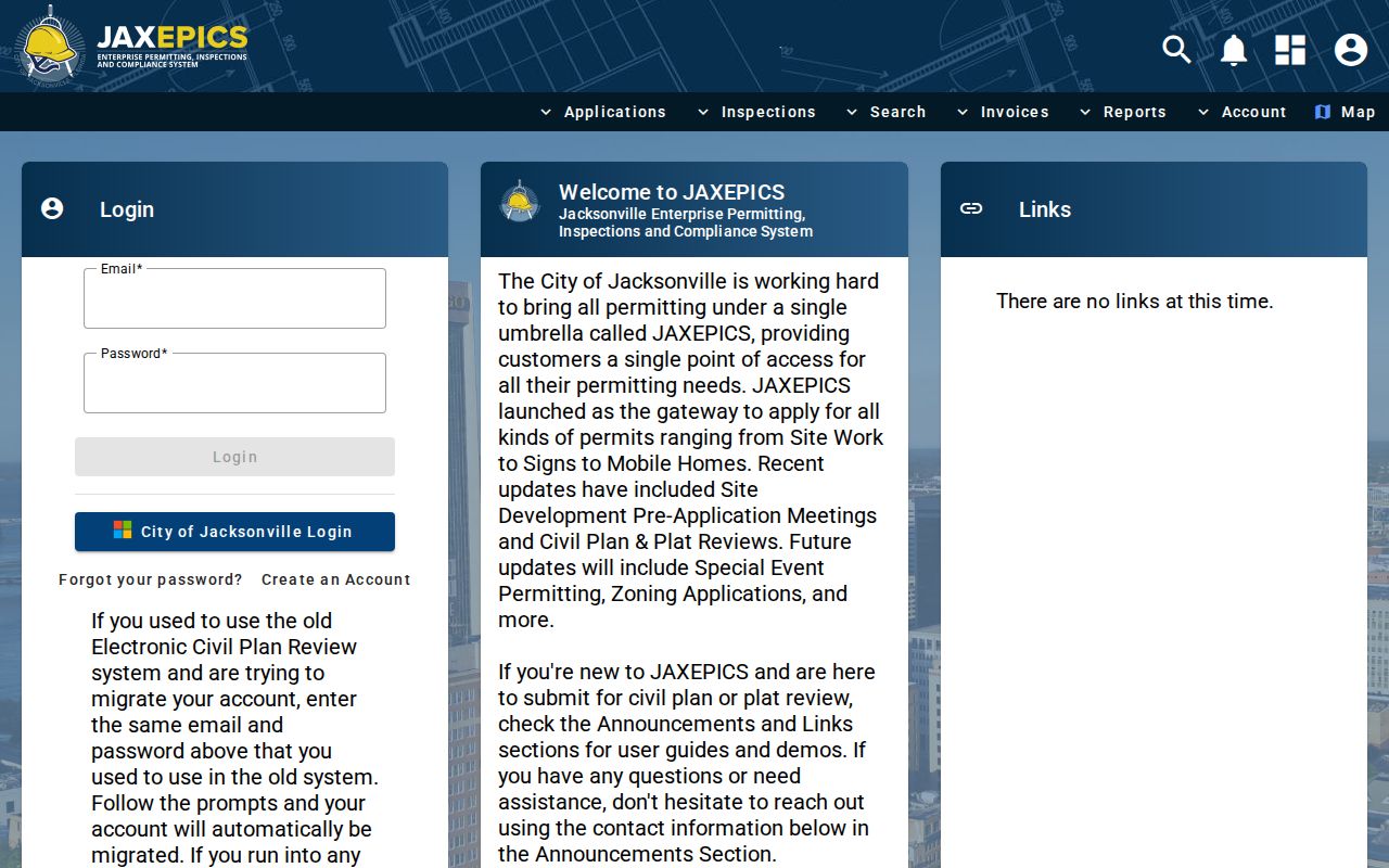
The named applicant or contractor may work at the site without living there. Verify the role against the parcel card and permit itself. For active code cases, case history, liens, releases, fines, payoff data, or documents, use the City Public Records Request Center and include both the address and RE number.
Jacksonville Neighbors in Voter Data
The personal voter-status lookup requires identity inputs and is not a tool for browsing a street. Block analysis instead requires a lawfully obtained statewide extract. The Florida Division of Elections extract request covers active and inactive voters through the prior month. A requester supplies contact and mailing information. Delivery is by mailed disk or scheduled Tallahassee pickup, not by email or online download.
Review Florida's voter extract request rules and fields.
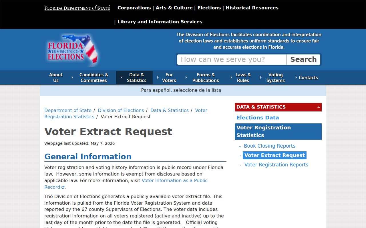
Released fields can include name, residential and mailing components, party, precinct, status, districts, registration dates, and participation history. Participation history says which election, never how anyone voted. Protected fields and protected participants are suppressed. Nonvoters and stale filed addresses also make the extract an incomplete picture of Jacksonville neighbors.
Jacksonville Neighborhood Directory
Jacksonville recognizes more than 200 neighborhoods across six Citizen Planning Advisory Committee districts: Urban Core, Greater Arlington and the Beaches, Southeast, Southwest, Northwest, and North. CPACs have operated since October 1993. Their voting members come through nominations from eligible civic, neighborhood, HOA, business, school, community, council, and Sheriff's Watch groups. That structure identifies public civic links, not a list of homes.
The Directory of Neighborhood Organizations filters by planning district, council district, organization name, and organization type. Entries are self-registered, so use the live record for current officers and contacts. The city materials include groups such as Bartram Springs HOA, Deercreek Owners Association, Moncrief Springs Neighborhood Association, St. Nicholas Area Preservation, and Villa San Jose Civic Association.
Search Jacksonville's organization directory by district or group name.
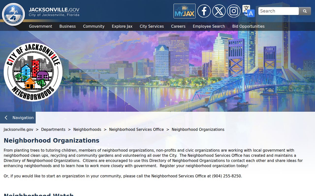
The directory connects a parcel search to a public group contact. It does not expose a private member roster.
Neighborhood Services Office
214 N. Hogan St., 7th Floor
Jacksonville, FL
904-255-8250
Neighborhoodservices@coj.net
Organization Directory
Filter by planning district, council district, organization name, or type. Check the live entry before contacting an officer.
Six CPAC Districts
Urban Core; Greater Arlington and Beaches; Southeast; Southwest; Northwest; North.
See the Neighborhood Services Office's current programs and contacts.
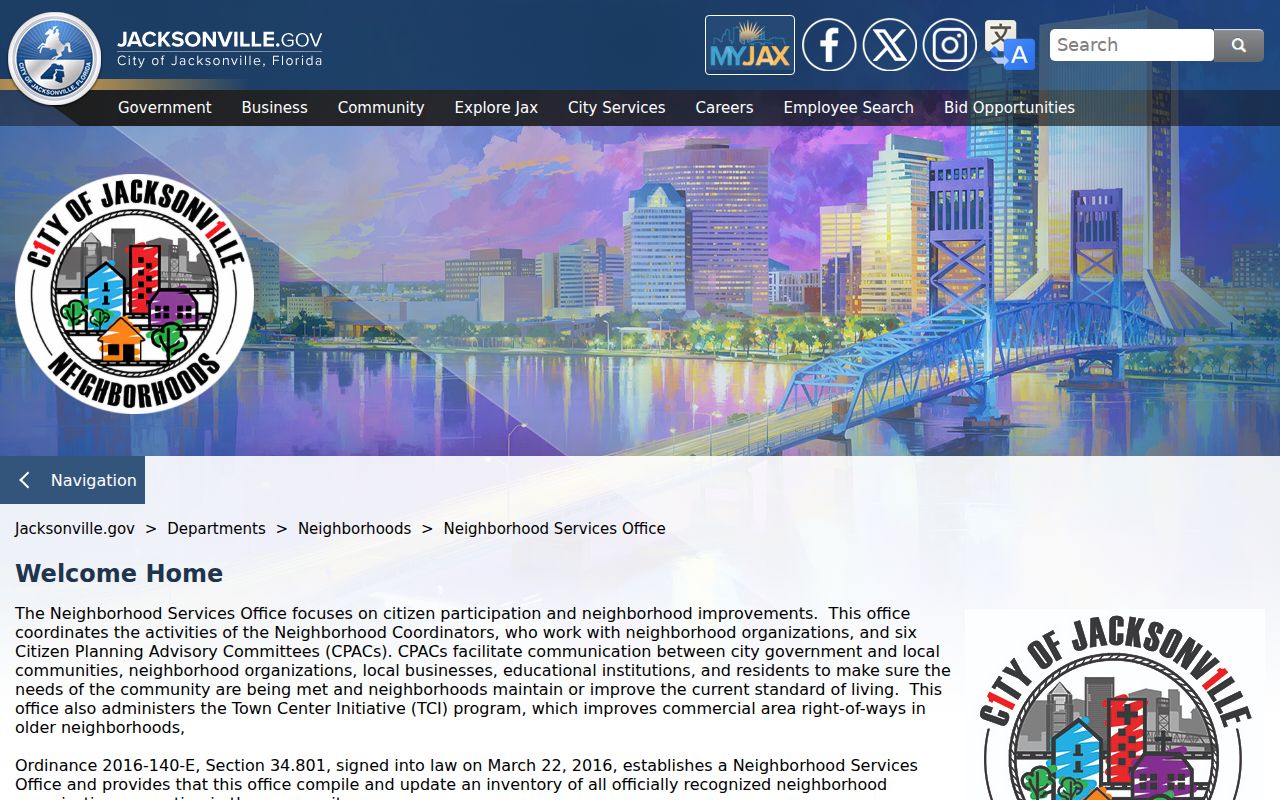
The office is the better fallback when an association is missing, inactive, or unclear in the directory.
Jacksonville Neighbor Source Check
Official rolls and commercial neighbor tools serve different roles. A commercial compilation may combine old public and licensed data, conflate people with the same name, or label an owner as an occupant. It may help form a lead, but the official custodian is the place to verify each fact.
| Source type | Best use | Main limit |
|---|---|---|
| GIS and parcel roll | Map the block and verify legal owner facts | Not an occupant roster |
| Voter extract | Review lawfully released registration records by filed address | Misses nonvoters and protected records |
| Civic directory | Find public organization contacts | Not a member or household directory |
| Commercial compilation | Unverified lead only | May be stale, merged, or wrongly labeled |
Property Appraiser data files provide an official large-scale option when a web map is too limited. Published offerings include sales and GIS ownership files plus special queries. The Property Appraiser data offerings explain those channels.
Review the Duval Property Appraiser's official data products.
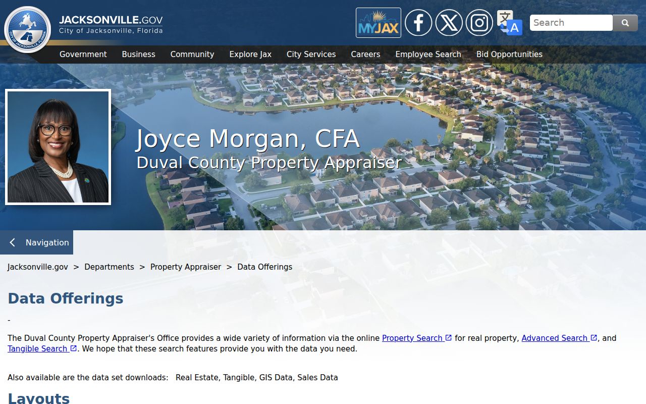
These files support parcel studies, but owner and mailing fields still must not be described as a complete set of Jacksonville neighbors.
Map Jacksonville Neighbors Outward
A compact process keeps a neighbor lookup tied to the immediate block. Begin at one exact address and widen only as far as the question requires. Preserve the RE number at every step because street formatting may vary across systems.
- Find the subject address in JaxGIS and confirm its parcel shape and RE number.
- Click each abutting polygon, opening Details for the adjacent parcel.
- Verify each owner, mailing address, situs, homestead display, and legal description in the parcel roll.
- Add JAXEPICS, voter data, or the civic directory only when that source answers a clear block-level question.
This is an address-to-map-to-roll flow, not a whole-street title search. When the scope grows beyond the immediate radius, use the Jacksonville street directory for the full named-street records chain.
Privacy for Jacksonville Neighbors
Florida public records contain firm limits. Social Security numbers, driver or state-ID numbers, voter source-agency data, and ballot choices are not public neighbor-directory fields. The Florida Address Confidentiality Program provides a substitute mailing address for qualifying relocated victims. Separate exemptions protect home addresses for certain occupations and families. Utility, motor-vehicle, and private delivery data are not casual resident directories.
Neighborhood Watch rosters stay with participants and law enforcement and should not be treated as public household lists. Association and congregation rosters may also be private. Use a public organization contact to ask a general civic question rather than seeking a member list. If an official parcel or voter fact is wrong, request correction or redaction from the office that keeps that record.
Lawful use. Jacksonville neighbor records may support civic contact, property research, reconnecting, and personal safety awareness. Never use them to watch, threaten, harass, or harm anyone.