
Jacksonville ZIP Directory Coverage
Jacksonville ZIP codes divide a very large city into workable postal areas, but they do not form neat neighborhood borders. The table groups ordinary delivery areas by the places most often associated with them. USPS remains the authority for a specific mailing address. A neighborhood may cross a ZIP line, and one code may contain several communities. Special, military, and post-office-box codes need separate treatment because they do not describe a normal residential polygon.
| ZIP | Jacksonville areas served | Postal context | Boundary note |
|---|---|---|---|
| 32201–32202 | Downtown, Cathedral District, LaVilla edge, riverfront, sports district, Talleyrand edge | Urban delivery | Use an exact address near district edges |
| 32204–32207 | Riverside, Brooklyn, Murray Hill, Avondale, Springfield, Eastside, San Marco, St. Nicholas | Urban and inner-ring delivery | Neighborhood names overlap postal lines |
| 32208–32211 | North Shore, Lake Forest, New Town, Durkeeville, Cedar Hills, Arlington, Ortega Farms | Northside, Westside, and Arlington routes | Broad areas contain several named communities |
| 32216–32227 | Southpoint, San Jose, Oceanway, Mandarin, Intracoastal West, Fort Caroline, New Berlin, NAS Jacksonville, Mayport | Southside, Northside, and military delivery | 32212 and 32227 serve military installations |
| 32234, 32244, 32246 | Baldwin and Maxville area, Argyle Forest and Wesconnett, Sandalwood and Beach Boulevard corridor | Western and eastern delivery | 32234 crosses the Baldwin and consolidated-city divide |
| 32254, 32256–32258, 32277 | Paxon, Baymeadows, Deerwood, Bartram, north Mandarin, Arlington and University Park | Westside, Southeast, and Arlington routes | Verify fast-growing southern edges address by address |
| 32233, 32250, 32266 | Atlantic Beach, Jacksonville Beach, Neptune Beach and Mayport areas | Beaches delivery | Separate municipalities remain within Duval County |
| 32203, 32214, 32228–32232, 32235–32243, 32245, 32247, 32255, 32260, 32267, 32290, 32099 | Special, unique, administrative, or post-office-box uses | Not ordinary neighborhood delivery | Do not infer a residential area from the code alone |
The core residential set includes 32201, 32202, 32204 through 32212, 32216 through 32227, 32234, 32244, 32246, 32254, 32256 through 32258, and 32277. That list is a working Jacksonville ZIP code directory, not a promise that every address bearing one of those codes lies in the same government boundary. Codes tied to post office boxes, institutions, or the military cannot support ordinary neighborhood conclusions.
Verify Jacksonville Postal Addresses
Start with the USPS lookup by address when a house number and street are known. It resolves the postal city, five-digit ZIP, and delivery format. When only Jacksonville and Florida are known, the USPS city-and-state lookup shows the codes associated with that postal name. The citywide result is a screening list, not proof that every code is a residential Jacksonville area.
The two successful USPS captures illustrate this distinction. The city-and-state screen is useful for discovery, while the address screen is the stronger check for one location.
See the USPS city and state ZIP search before choosing a broad area.
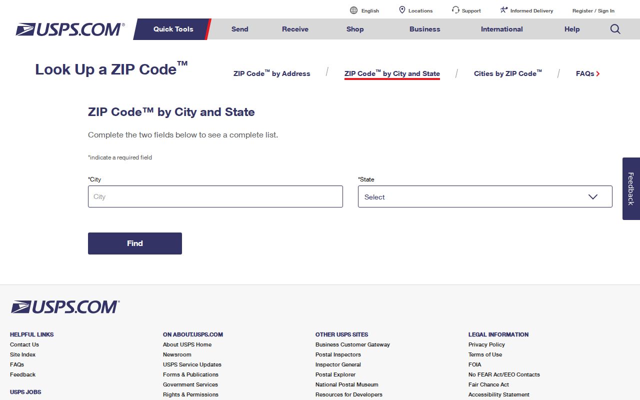
The result should then be reduced to one deliverable street address whenever possible.
Open the USPS address ZIP lookup for the exact postal result.
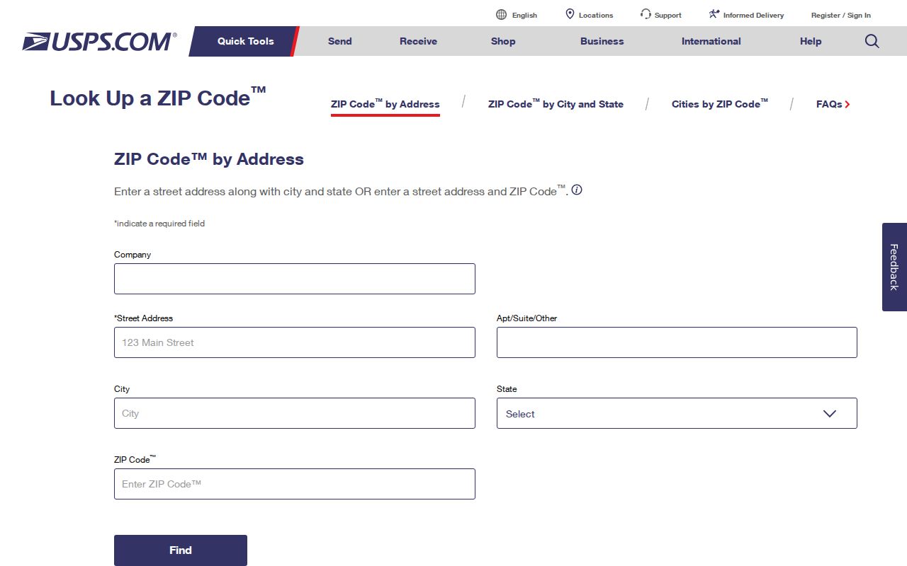
That exact postal result can be carried into Duval County property and GIS searches without guessing at a neighborhood label.
Jacksonville Urban ZIP Patterns
Downtown and the older urban neighborhoods show why ZIP labels are broad. The 32201 and 32202 areas span the downtown core, riverfront, Cathedral District, LaVilla edge, sports and entertainment district, and the edge of Talleyrand. Moving outward, 32204 through 32207 take in Riverside, Brooklyn, Mixon Town, Murray Hill, Avondale, Lakeshore, Springfield, Eastside, San Marco, St. Nicholas, Spring Park, and northern San Jose.
A Jacksonville ZIP code search may therefore return parcels from places with different street grids, land uses, and neighborhood identities. Use the ZIP to reduce the field. Then use the address and parcel map to establish the block. The St. Johns River and Jacksonville's large footprint make that second step especially important.
Jacksonville ZIPs Beyond Downtown
Northside codes cover wide and varied ground. The 32218 area includes Highlands, southern Oceanway, Biscayne, Pecan Park, and the airport area. The 32219 area reaches Dinsmore, Garden City, Lincoln Villas, and the northwest Northside. Farther northeast, 32226 includes New Berlin, Yellow Bluff, Cedar Point, and Black Hammock Island. A single ZIP here may blend suburban streets, large parcels, and rural or coastal land.
South and southeast Jacksonville are just as varied. The 32223 area centers on Mandarin. The 32224 area reaches Intracoastal West, UNF, Sans Pareil, and eastern Deerwood. Baymeadows, Deerwood, Gate Parkway, Bartram growth areas, north Mandarin, Pickwick Park, and Sunbeam appear across 32256 through 32258. For 32222, 32234, 32258, and 32259, verify the county and municipality because common metro usage can blur the Duval, Clay, and St. Johns lines.
Note: ZIP geography narrows the search, but a parcel and jurisdiction check should settle any edge case.
Search Jacksonville Records by ZIP
The Duval County Property Appraiser advanced sales search accepts one ZIP or several. Multiple codes must be separated by commas with no spaces. The result is a set of ownership parcels, not a list of all residents. It can show owner and parcel facts, sale data, legal descriptions, and property traits. Mailing and situs addresses must remain separate because tax mail may go somewhere other than the property.
- Confirm the five-digit code through USPS, using a real address when one is available.
- Enter one ZIP in the Property Appraiser search, or use comma-separated codes without spaces for a combined parcel set.
- Narrow by sale date, subdivision, property use, value, acreage, or year built when a ZIP-wide result is too large.
- Map selected parcels in Duval Property Map, then verify each owner and address in the parcel card.
Florida's personal voter-status lookup is not a browse-by-ZIP directory. A block or ZIP study requires a lawful voter extract request, and protected fields are removed. Once the Jacksonville ZIP code directory has narrowed the area to a street, the Jacksonville street directory handles the address-level path.
Jacksonville ZIP Search Controls
The advanced parcel search combines ZIP with filters that can make a large result useful. These controls describe property and sales, not household membership. A qualified or unqualified sale flag is a record clue, while value fields are assessments rather than sale prices.
| Search field | Entry or choice | How it narrows Jacksonville parcels |
|---|---|---|
| ZIP | One code, or multiple codes separated by commas with no spaces | Builds the postal-area parcel set |
| Sales date and price | Range | Limits transfers by date or stated price |
| Sale class | Qualified or unqualified | Separates common market evidence from other transfers |
| Subdivision and tile | Name or map reference | Reduces a ZIP to a smaller mapped area |
| Property use and improvement | Use class; vacant or improved | Separates broad property types |
| Value, acreage, building area, year built | Ranges | Filters by parcel and structure traits |
If the map or export reaches its 1,000-result ceiling, reduce the ZIP set or request an official data product from the Property Appraiser. The published data channels include sales and GIS ownership files, plus special-query work, so a large Jacksonville project has an official fallback beyond the web screen.
Jacksonville Military and Special ZIPs
Some codes in the Jacksonville ZIP code directory do not represent a typical neighborhood. The 32212 code serves Naval Air Station Jacksonville, and 32227 serves Naval Station Mayport. Codes such as 32203 and 32214 are special or post-office-box codes. Groups including 32228 through 32232 and 32235 through 32243 are largely special, unique, administrative, or box uses. The same caution applies to 32290 and 32099.
A military, unique, or box code cannot support a normal parcel count or household inference. Search a full address through USPS first. If there is a land parcel, use Duval GIS and the Property Appraiser. If the code belongs only to an institution or postal operation, describe it as such and stop short of attaching neighborhood claims.
Jacksonville ZIP Boundary Trap
Consolidation took effect on October 1, 1968, expanding Jacksonville from about 37 to 841 square miles. Atlantic Beach, Jacksonville Beach, Neptune Beach, and Baldwin stayed separate municipalities. This is the key geography lesson for a Jacksonville ZIP code directory: a Jacksonville or Duval postal result does not settle local jurisdiction.
The 32233 area covers Atlantic Beach and Mayport, while 32250 is tied to Jacksonville Beach and 32266 to Neptune Beach. The 32234 area spans Baldwin, Maxville, and western Duval, crossing the separate-Baldwin and consolidated-city divide. The 32259 code primarily serves St. Johns and Fruit Cove outside Jacksonville. Check exact addresses through USPS and the parcel map before choosing a city office, code agency, or local record custodian.
Geography check. A postal city name routes mail. It does not establish municipal government, county, zoning, or service district.
Jacksonville ZIPs and City Limits
USPS ZIP codes are delivery tools. Census ZIP Code Tabulation Areas, or ZCTAs, are generalized shapes built for statistics. Neither replaces a legal boundary map. For one Jacksonville address, use USPS to confirm mail routing and JaxGIS to identify the parcel and local geography. Planning maps can add a district or neighborhood frame, but the parcel record remains the better link to an owner and legal description.
- ZIP and ZIP+4
- A ZIP is the five-digit delivery area. ZIP+4 adds a smaller segment such as a block, building, or group of boxes.
- PO-box ZIP
- A code used chiefly for post office boxes rather than ordinary street delivery.
- Unique ZIP
- A code assigned to one high-volume organization or special operation, not a neighborhood.
- Carrier route
- A postal delivery path inside a ZIP. It can cross the names people use for neighborhoods.
Jacksonville's RE number identifies the parcel. The situs address is the parcel location, while the mailing address is where the owner receives tax mail. A legal description may use lot and block, subdivision, or metes and bounds instead of the street address. Keeping those fields distinct prevents a postal mismatch from being mistaken for a change in ownership or residence.