
Walk a Jacksonville Street
A useful street directory starts with ownership evidence, then adds limited signs of occupancy. Duval County publishes parcel owners and recorded deeds. A voter record can confirm one registered person when the required identity facts are known, while a lawfully requested statewide extract can support street analysis with protected fields removed. Historical street sections in city directories name many occupants, including some who did not own land. None of those sources is a household census.
- Standardize one address in the Duval Property Appraiser search. Save the RE number, owner, situs, mailing address, legal description, and sale book/page.
- Open the same location in the Duval Property Map or JaxGIS. Zoom to the street and inspect each parcel in spatial order.
- Use the individual voter tool only with the required identity inputs. For a whole street, request the lawful monthly extract and respect all exemptions.
- Open the newest deed in Acclaim, confirm the legal description, and follow the seller back through earlier recorded transfers.
- For earlier occupants, use Jacksonville directory street sections and compare nearby numbers across successive editions.
Search Jacksonville Parcels by Street
In the Duval Property Appraiser Property Search, omit the house number and supply a street name and type to build a street run. Partial street names are supported. Use Refine Search when the result includes similar names. The parcel card should be treated as the current tax roll, not proof of every person living at the situs.
| Field | Input | Jacksonville use |
|---|---|---|
| RE number | Six plus four digits | Exact parcel key |
| Owner or Business Name | Text | Owner-led search |
| Street number | Optional text | One site or omit for a run |
| Street name | Partial text accepted | Find parcels along one named street |
| Street type | Suffix dropdown | Separate roads with similar names |
Read “Primary Site Address” as the parcel's physical location. The owner mailing address is for tax mail and may be elsewhere. A matching mailing and situs address plus homestead supports owner occupancy, but it still does not reveal all Jacksonville residents at that home.
Browse Jacksonville Streets in JaxGIS
The Duval Property Map offers Parcel, Address, Street, EDA, and General search modes. Street mode is the quickest way to put a parcel list in map order. Labels can show an owner or RE number, while Details can export to Excel. Narrow the street segment because results cap at 1,000.
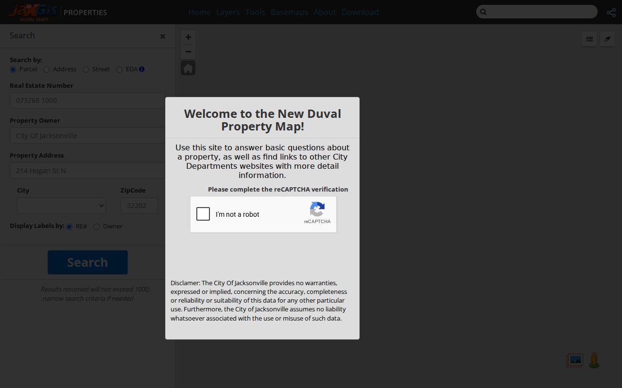
The map exposes parcel shape and adjacency. Open the primary parcel card before citing an owner, then use the Clerk's deed image for title history.
The broader JaxGIS viewer adds layer selection, buffers, point and polygon tools, measurements, aerial views, planning districts, and neighborhood context.
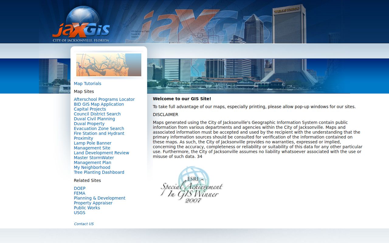
Address Points combine USPS, Property Appraiser, and other inputs, and mapped parcel dimensions are estimates. Use the map to discover, then verify with the custodian.
Jacksonville Address Terms That Matter
Several labels look interchangeable but lead to different records. Keeping them straight prevents a street directory from turning a tax-mail clue into a false claim about residence.
- Parcel
- A mapped unit of land identified in Jacksonville by an RE number.
- Situs address
- The physical location assigned to the parcel, distinct from the owner's mailing address.
- Plat
- A recorded map dividing a subdivision into lots, blocks, streets, and easements.
- Criss-cross directory
- A directory organized by street and house number rather than only by surname.
Older deeds may use lot and block, subdivision, or metes-and-bounds text with no modern number. The legal description is therefore the strongest bridge when a street was renamed or renumbered.
Jacksonville Street Directory Sources
Address-keyed sources overlap without saying the same thing. A sound Jacksonville street directory records what each custodian actually publishes and preserves the date of the search. Current parcels, recorded interests, permits, voter data, and directory entries belong in separate columns until the names and property identifiers align.
| Record Set | Keeper | What It Shows | Access |
|---|---|---|---|
| Property roll | Duval Property Appraiser | Owner, mailing and situs addresses, exemptions | Free portal; office and data request |
| GIS parcel map | City of Jacksonville GIS | Parcel order, adjacency, districts, layers | Free viewer and limited export |
| Deeds and liens | Duval County Clerk | Recorded parties, book/page, legal description | Acclaim since 1988; counter earlier |
| Voter registration | Duval Elections and Florida Division | Nonprotected registered voters at filed addresses | Individual check or requested monthly extract |
| Permits and code | JAXEPICS and Code Compliance | Work, inspections, citations, and named roles | Portal plus records request |
The RE number ties the parcel card to maps, municipal fees, and many permit references. Book/page and legal description tie the parcel to deeds. The street name links those sources to directory and voter-address fields, but it is weaker after renumbering. The city's separate User Fees search can accept an RE number, owner, address, or ZIP+4 as an added municipal cross-check.
Turn Jacksonville Addresses Into Deeds
Start with the newest Official Record book/page on the parcel card, then open Acclaim. The Clerk index covers 1988 to the present and offers Name, Instrument Number, Document Type, Record Date, Consideration, Book/Page, and Case Number searches. Confirm the legal description before connecting a recorded party to a site.
To move backward, read the current purchase deed, identify the seller, and search that seller as an earlier grantee. Repeat the chain. Grantor means the party giving an interest; grantee means the party receiving it. A deed proves a transfer, not who slept at the property. A mortgage, lien, or judgment also assigns a different party role and must not be mistaken for ownership.
There is a Duval-specific search trap. Instruments recorded January 1 through 20, 2004 originally had an extra zero that was later removed. If an old instrument number fails, search by grantor and grantee or by book/page. Pre-1988 books and film are available from Official Records and Research in Room 1253, 501 W. Adams Street, by visit, mail, or staff request.
Jacksonville Permits by Address
JAXEPICS Advanced Search adds permits, inspections, citations, and violations to a by-address search. A result may name an owner, applicant, contractor, architect, or other role. Read that label. A permit applicant or contractor is not proof that the person lived at the work address.
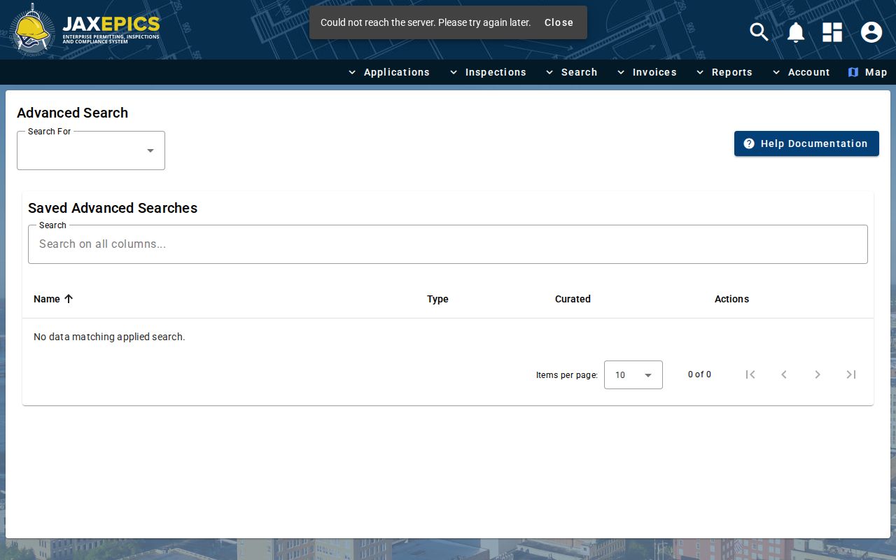
The permit screen can date work on several lots along one street, while the parcel cards confirm which owner and RE number belonged to each site.
When the portal does not expose an older or code-enforcement record, use the Municipal Code Compliance records channel with the address, date range, and case or permit identifier.
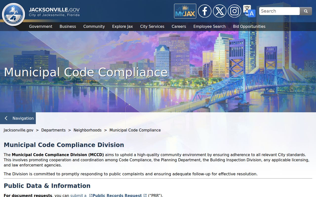
That fallback matters because a missing online row does not establish that no paper, film, or archived case exists.
Jacksonville Voters Along a Street
The personal voter-status tool is not a street browser. It requires first name, last name, date of birth, and a security check, with county selection where presented. A match may show status, party, precinct, polling place, districts, and election details. It is suited to checking a known individual, not discovering a block.
Street analysis requires Florida's monthly statewide extract. A requester gives contact and mailing details to the Division of Elections, and delivery is by mailed disk or scheduled Tallahassee pickup, not email or online download. The file can include nonprotected residential and mailing components, party, precinct, status, districts, registration date, and participation history. Protected fields and protected addresses are removed.
Even the extract misses nonvoters and protected voters. An inactive status is not the same as cancellation, and election history shows participation, never ballot choices. Date the extract because it is a monthly snapshot and do not present its street names as a live household list.
Read Old Jacksonville Streets
Jacksonville Public Library's Florida Collection holds a city-directory run beginning in 1870. Street sections alphabetize street names and list occupants by house number, making them an early form of street directory. Check the title page, publisher, date, and abbreviation key, then copy neighboring numbers to detect a numbering shift or a move within the block.
At a renumbering, match occupants, work, spouse, cross streets, subdivision, and legal description across editions. Some volumes carry both old and new numbers. A missing entry may mean a canvass omission, brief absence, name change, death, or publication lag. The full collection history belongs on the Jacksonville city directories page; use the street section here only to bridge an address trail.
Jacksonville Streets Across Consolidation
Jacksonville expanded from about 37 to 841 square miles when consolidation took effect October 1, 1968. Atlantic Beach, Jacksonville Beach, Neptune Beach, and Baldwin remained separate municipalities within Duval County. A Jacksonville postal line therefore does not prove that the address lies in the consolidated city's service area.
Jurisdiction changes which municipal permit or code series should exist. Old-city permit film survives from 1904, while pre-consolidation county building records were lost. Verify an exact address in USPS and GIS, then note its former and current jurisdiction before treating a gap as meaningful. ZIP is postal routing, not a legal boundary.
Watch New Duval Instruments
The Duval Clerk's Property Fraud Alert can email or call when a monitored name matches a newly recorded instrument, generally within about 48 hours. The alert includes the instrument number, which can then be checked in Acclaim. It does not decide whether a filing is valid and does not monitor by street.
For a Jacksonville owner studying a street because of a suspicious deed, that prompt is more useful than repeatedly rerunning the street directory. Enrollment data is exempt under Florida law. Always read the actual recorded image and contact the Clerk about a questionable filing.
Jacksonville Street Directory Limits
A street directory cannot produce a complete Jacksonville household roster. The Property Appraiser names owners, not renters or family members. Deeds establish recorded interests. Permit files identify roles in work, and voter records omit nonvoters and protected people. Driver records are restricted, utility customer data is not a public street roll, and neighborhood-watch rosters should remain private.
Commercial compilations can be stale, merge people with the same name, and label an owner as an occupant. Compare at least two official sources and keep the search date. Address Confidentiality Program participants and people covered by occupational exemptions have good reason to be absent from public displays.
Large street studies also meet practical system limits. JaxGIS can return no more than 1,000 selected features, so a long corridor may require smaller map areas. The Property Appraiser offers official sales and GIS ownership files for $15 by CD or FTP, as well as special query research at $15 per half hour. Those data products can carry RE numbers, owner names, mailing and site addresses, legal descriptions, subdivision fields, plat references, and official-record book and page. Ask for the file layout and roll date. A bulk ownership file is still not a resident list, and every important parcel fact should be checked against the live card.
Lawful use. Use Jacksonville address records for personal research, family history, property curiosity, and civic transparency. Never use them to stalk, harass, intimidate, or harm anyone.